The Cartographic State

-
Select format
-
- Publisher:
- Cambridge University Press
- Publication date:
- 05 December 2013
- 28 November 2013
- ISBN:
- 9781139644372
- 9781107040960
- 9781107499720
- Dimensions:
- (228 x 152 mm)
- Weight & Pages:
- 0.49kg, 242 Pages
- Dimensions:
- (229 x 152 mm)
- Weight & Pages:
- 0.38kg, 242 Pages
- Series:
- Cambridge Studies in International Relations (127)
- Subjects:
- Political Sociology, Politics and International Relations, International Relations and International Organisations, Sociology
You may already have access via personal or institutional login- Series:
- Cambridge Studies in International Relations (127)
- Subjects:
- Political Sociology, Politics and International Relations, International Relations and International Organisations, Sociology
Show more authors 
You may already have access via personal or institutional login
Book description
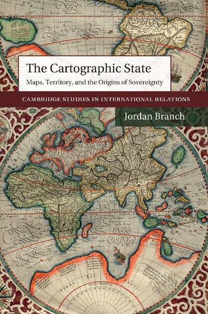
Why is today's world map filled with uniform states separated by linear boundaries? The answer to this question is central to our understanding of international politics, but the question is at the same time much more complex - and more revealing - than we might first think. This book examines the important but overlooked role played by cartography itself in the development of modern states. Drawing upon evidence from the history of cartography, peace treaties and political practices, the book reveals that early modern mapping dramatically altered key ideas and practices among both rulers and subjects, leading to the implementation of linear boundaries between states and centralized territorial rule within them. In his analysis of early modern innovations in the creation, distribution and use of maps, Branch explains how the relationship between mapping and the development of modern territories shapes our understanding of international politics today.
Awards
Winner, 2016 Past Presidents' Bronze Book Award, Association for Borderlands Studies
Honourable mention, 2016 Francesco Guicciardini Prize, Historical Relations Section, International studies Association
Reviews
'This is a fascinating book that retells history of modern cartography from an international relations perspective. As such, Branch skillfully brings together critical interpretations from two areas of scholarship to provide a compelling argument on how the developments of maps and political sovereignty are crucially linked. The primary thesis is that the depiction of bounded spaces on early modern maps preceded modern political practice premised upon bounded spaces. This has important theoretical ramifications for understanding how a uniquely modern form of relations between states was created … This book has stimulated me to engage with its ideas; it presents a very distinctive and distinguished argument that I recommend others to likewise engage with.'
Peter J. Taylor Source: The Cartographic Journal
Contents
Contents
Metrics
Altmetric attention score
Full text views
Full text views helpTotal number of HTML views: 0
Total number of PDF views: 0 *
 Loading metrics...
* Views captured on Cambridge Core between #date#. This data will be updated every 24 hours.
Usage data cannot currently be displayed.
Accessibility standard: Unknown
Why this information is here
This section outlines the accessibility features of this content - including support for screen readers, full keyboard navigation and high-contrast display options. This may not be relevant for you.
Accessibility Information
Accessibility compliance for the HTML of this book is currently unknown and may be updated in the future.