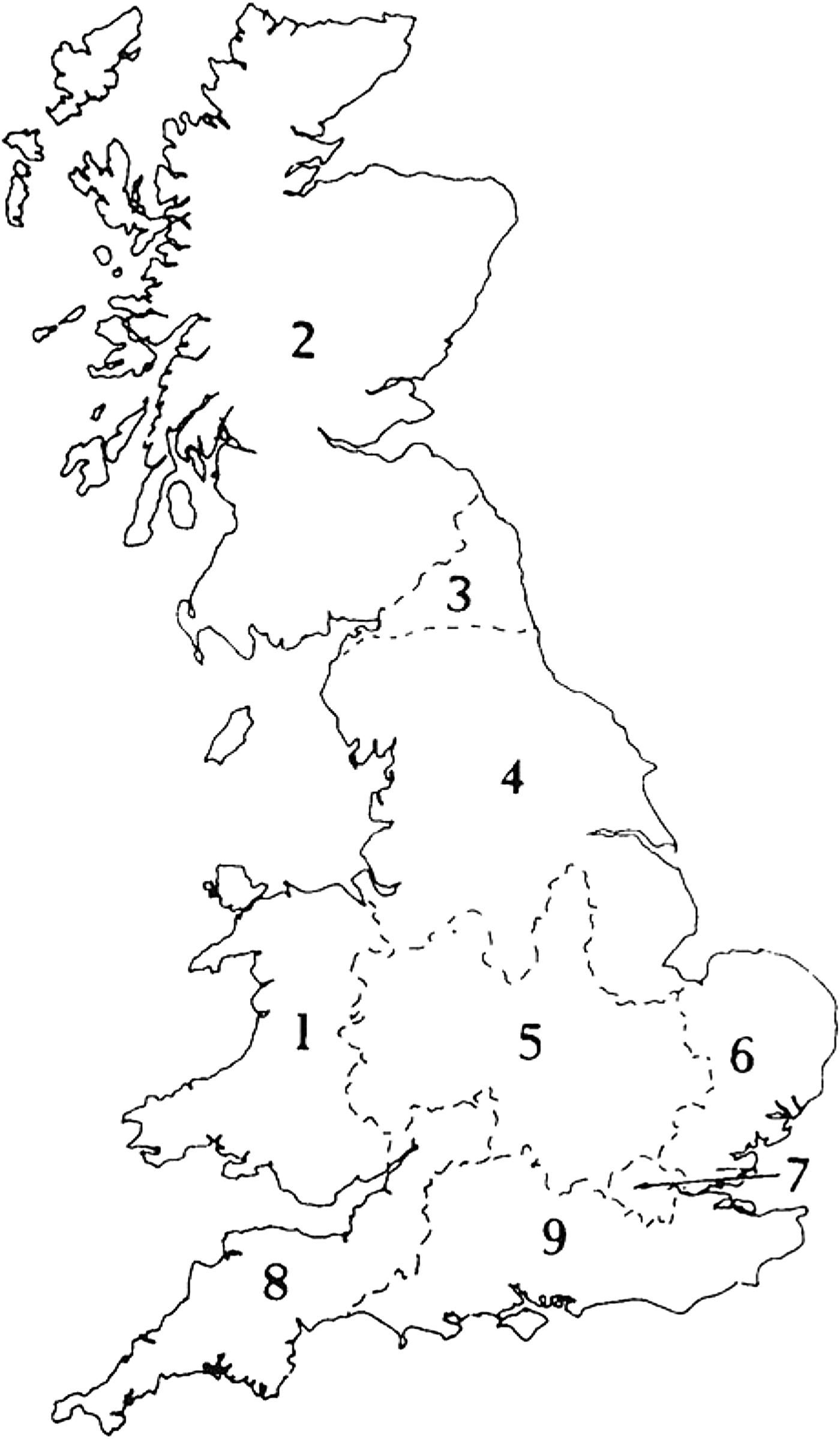
Key to numbered sections of Part I (Sites Explored).

Please note that only the most significant sites and discoveries for each region are included here; for further information see the Supplementary Material for each region available at https://doi.org/10.1017/S0068113X19000357; https://doi.org/10.1017/S0068113X19000369; https://doi.org/10.1017/S0068113X19000394; https://doi.org/10.1017/S0068113X19000400; https://doi.org/10.1017/S0068113X19000412; https://doi.org/10.1017/S0068113X19000424; https://doi.org/10.1017/S0068113X19000436; https://doi.org/10.1017/S0068113X19000448
CARMARTHENSHIRE
(1) Nantgaredig, Llechwenni Farm (SN 49189 21548): a trench was excavated across the projected line of the Roman road connecting Carmarthen to the west with the fort at Llandeilo to the east.Footnote 1 Sections of the road had been identified from aerial photography and the road was apparent on the ground as a linear depression. A compacted and worn stone surface was revealed at a depth of c. 0.5 m to 0.75 m below the current ground surface. This represented the surface of the road, 5.3 m wide, which appeared to have been partly sunk, or worn, down to its current level, as it now lies at a lower level in relation to its two flanking drainage ditches. No dateable material was recovered from the road deposits or the ditch fills, although several fragments of possible hobnails were recovered from overlying deposits. Pottery recovered from overlying deposits suggests the road is likely to have become unusable by the early post-medieval period. The road itself was left in situ and undisturbed.Footnote 2
FLINTSHIRE
(1) Pentre Ffwrndan (SJ 2568 7201):Footnote 3 excavation revealed evidence for a sequence of Roman buildings, with timber partition walls and successive earthen floors, although the investigations of these were limited in nature. Small quantities of lead casting waste were recovered, suggesting that the building was related to the lead-working industry which is known to have developed alongside the Roman road. The stone surface revealed in 2007 is perhaps likely to be associated with these buildings, rather than being part of a road. The site lies around 200 m north-west of an important Roman industrial ribbon settlement set out along the coastal road between Chester (Deva) and Caernarfon (Segontium).Footnote 4
POWYS
(1) Llanymynech, Clawdd Coch (SJ 24818 20275): an archaeological evaluation cast further doubt on the existence of the postulated Clawdd Coch B Roman fort.Footnote 5 No archaeologically significant contexts were recorded in the evaluation trenches. The geophysical survey of the development site did not identify any evidence of buried archaeological features.Footnote 6 Map regression showed that the ‘Roman field oven’ recorded in the 1990s corresponds with the site of a long-demolished, post-medieval cottage, whilst the ditch, supposed to form the northern defences of the fort, corresponds with the line of a ploughed-out, post-medieval field boundary.Footnote 7 An intense field-walking exercise carried out over the development area found no evidence of Roman activity.Footnote 8
SWANSEA
(1) Garden Village (SS 59900 97900): a sub-rectangular Roman stock enclosure was identified through evaluation and subsequent excavation to the north of Garden Village. The enclosure was aligned north-east–south-west, with a likely northern entrance and internal ditch and bank to help corral and herd livestock into the interior. Two post settings near the north-east terminus of the enclosure ditch suggested an entrance-way, and basal deposits of large angular limestone pieces within the enclosure ditch suggested the presence of an internal bank. The enclosure ditch had been recut. The depth of the ditch decreased to the south and increased to the north, possibly suggesting that the land the enclosure lay on was artificially terraced at some point, rather than being a natural false crest as originally thought. This terracing may have taken place contemporary with the recut of the enclosure ditch to facilitate its function. Very few artefacts were recovered; however a single sherd of South Wales greyware was recovered from the backfill of the enclosure ditch, as well as two sherds of second-century Caerleon ware from a possible post setting outside the enclosure. The location of the enclosure at the bottom of the hill and near the flatland may suggest a seasonal, wintering function.Footnote 9
VALE OF GLAMORGAN
(1) Cowbridge, No. 1 Westgate (SS 9925 7480): excavation encountered archaeological features throughout the site, with Roman activity dating from the early second to the fourth century. Roman activity in the southern part of the site likely related to drainage of the area, linked to probable structural activity to the south, two post-holes of which were found within the excavation area. The majority of finds from this area were second century in date. Metallurgical remains and environmental evidence indicated the presence of secondary smithing nearby, and likely derived from industrial activity outside the site to the west and south. Roman features in the northern part of the site included a further ditch, a buried soil horizon and a probably quarry pit, which also all dated to the second century. Three near-complete second-century ceramic vessels were recovered from one of the pits. These features were then covered by a midden deposit dated to the third/early fourth centuries, which was in turn truncated by a later ditch. The archaeological and finds evidence suggests that the site lay outside the focus of settlement within Roman Cowbridge, although there was a tantalising increase in activity along the southern edge of the excavation area indicating that here the focus was on the street frontage.Footnote 10
SUPPLEMENTARY MATERIAL
For Supplementary Material for this article please visit https://doi.org/10.1017/S0068113X19000357