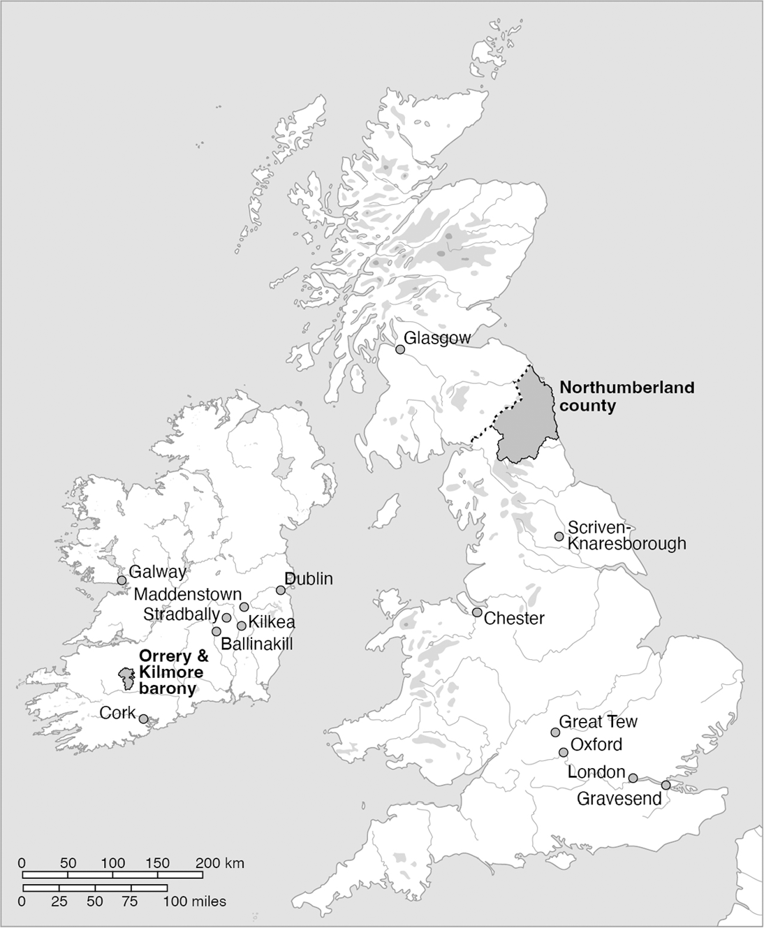


Britain and Ireland: Francis Slingsby’s world.

MAP 1 Long description
A map of Britain and Ireland showing various locations mentioned in text. Key places include Dublin, Glasgow, Northumberland county, Chester and Galway. Other locations marked are Skerne, Knaresborough, Great Tew, Oxford, London, Gravesend, Kilkenny, Ballinakill, Orrey, Kilmere and several others. The map includes a scale indicating distances in kilometers and miles.
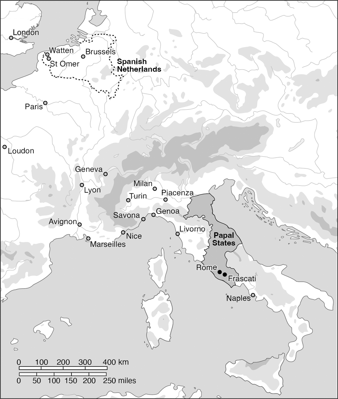
Continental Europe: Places mentioned in text.

MAP 2 Long description
The map displays various cities and regions in Continental Europe. Notable locations include Watten, Brussels, St. Omer, Paris, Loudon, Geneva, Lyon, Avignon, Marseilles, Milan, Savona, Genoa, Livorno, Rome, Piacenza, Naples and Frascati. The Spanish Netherlands and Papal States are marked. A scale at the bottom indicates distances in kilometers and miles, ranging from 0 to 400 kilometers and 0 to 250 miles.