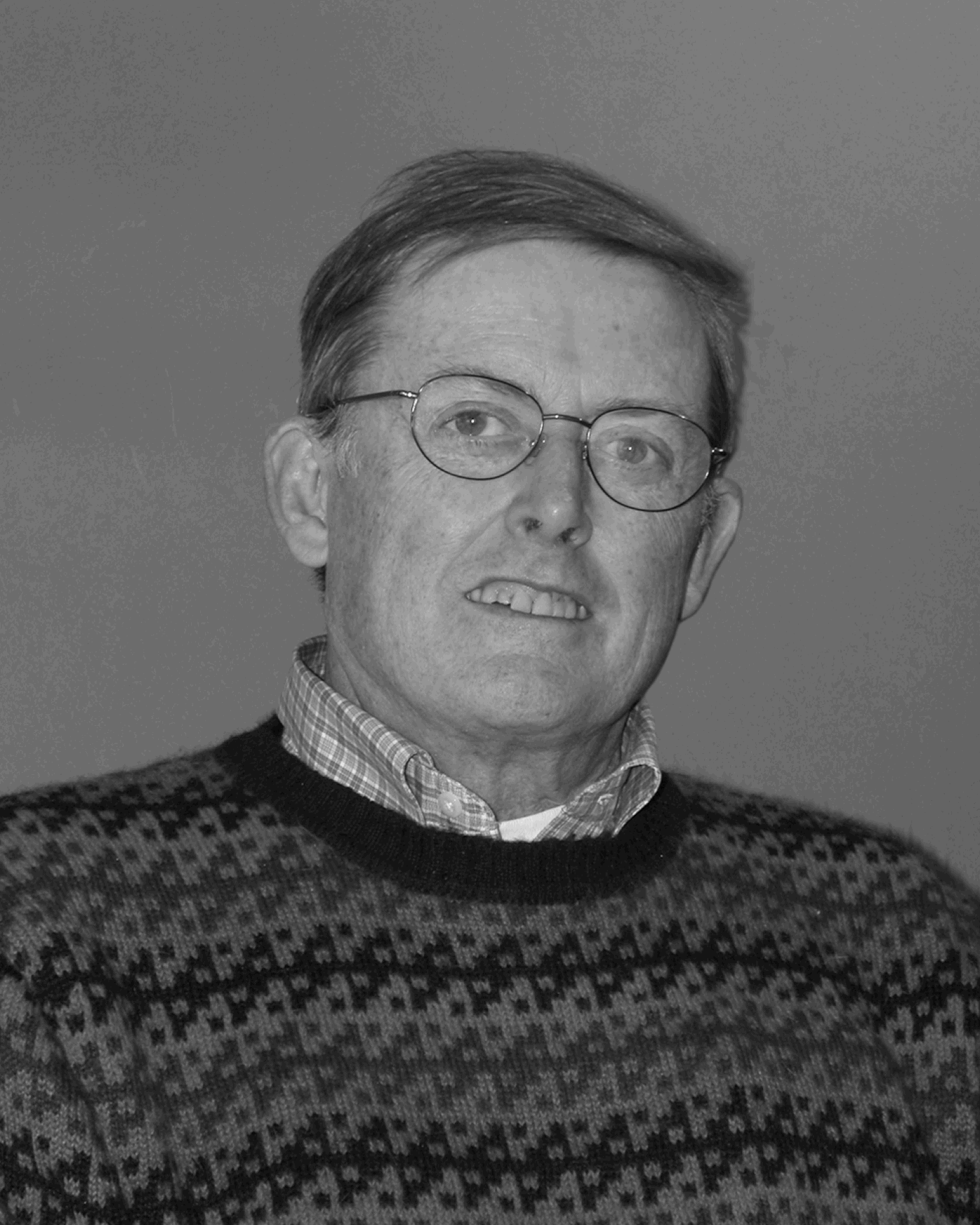
FAMILY BACKGROUND
I was born in October 1939, the oldest of three children. Dad was an agricultural economist employed by the U.S. Department of Agriculture; Mom was a stay-at-home mother and part-time school librarian, with a vivid imagination and strong literary and historical interests, and our home was full of books. Since the 1780s, five generations of my father's family had owned and worked the same farm in western Maine, and that was where Dad was born and grew up. My mother's parents immigrated to America from Germany in 1884 and 1890; they met in Montana, worked a homestead there, and eventually became cattle ranchers in Alberta. After 1910, they took up a less rigorous life of farming in Connecticut and along the shore of Lake Cayuga in upstate New York, and it was there that Mom was born.
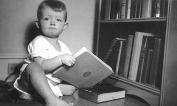
1940.

As young adults, my parents rode out the Great Depression as hard-working students at the University of Maine and Cornell University. Dad worked for a couple of years as an instructor at the University of Maine, and then went to Cornell University to get a doctorate in agricultural economics. After finishing her degree at Cornell, Mom taught for two years in a one-room country school near Ithaca, New York. They met in 1935 at Cornell.
When I was seven, we moved from suburban Philadelphia to Fairfax, Virginia, then still a semirural suburb of Washington, DC, and it was there that I attended public elementary and high school. We had a big garden. We raised chickens and honey bees and canned and froze lots of produce. We were all active in the Fairfax County 4-H Club. We spent parts of many summers at Dad's old family home in Maine, still something of a working farm. So, although I did not myself grow up on a farm, I was familiar with agricultural lifeways from an early age, and my encounters later on with peasant farmers in Mexico and Peru rekindled these dormant interests, which eventually led to a serious interest in ancient agriculture.
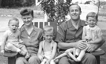
Parsons Family, 1944. Jeff at center.

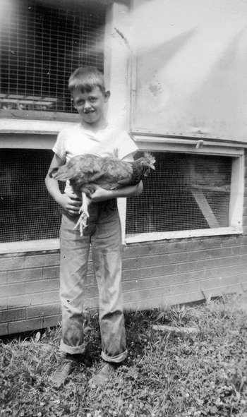
At the Chicken House, 1950.

One of Dad's favorite recreations as we were growing up was going for long walks through the woods and fields around our home. We kids usually accompanied him, and the distances got longer as we got older, and at a certain point we started going for many long walks on our own. It may have been this early walking experience that “preadapted” me for a career of regional archaeological survey. Another important formative influence was my good friend, sharp-eyed Bobby Marlin, who persuaded me to accompany him on long excursions looking for Civil War bullets that abounded in that area where so many battles had been fought less than a century earlier. We usually harvested a handful of bullets (and a few arrowheads as well) every time we went out. So, early on I grew accustomed to walking around and looking for old stuff on the ground surface.
THE EARLY FIELDWORK YEARS
Geological Mapping
In September 1957, I enrolled as a freshman at the Pennsylvania State University, majoring in geology and mineralogy. One of our degree requirements was a summer course in geological field mapping, usually taken between one's junior and senior years. So, in 1960, together with three classmates, I decided to take the field course offered by the University of Wyoming—an exotic far-west location for us easterners. One of my Penn State geology professors, Robert Scholten, agreed that I could join him at the end of the month-long fieldschool in Wyoming, to spend the rest of the summer assisting in his mapping project along the Continental Divide in southwest Montana and adjacent Idaho.
Scholten used air photos as field guides and as base maps for plotting geological features. We traversed the countryside systematically, looking closely at rock outcrops and weathered rock remnants. We plotted the rock formations on the air photos, took strike and dip, and looked carefully for signs of faults and other disconformities. I didn't realize it at the time, but that experience was to prove pivotal for my later career in archaeology.
Getting Into Archaeology
During my senior year at Penn State, I decided to pursue graduate work in anthropological archaeology at the University of Michigan. Part of this decision was based on the great appeal of two courses I took that year from a young Penn State professor, archaeologist Bill Sanders. After graduating in June 1961, I went to work for Bill in the early stages of his field project in the Teotihuacan Valley.
Bill wanted to define pre-Hispanic settlement patterns as a way of complementing the site-specific investigations that had dominated archaeological studies of long-term cultural development and urbanization in the Valley of Mexico. By 1960, he had come to believe that archaeological settlement patterns in highland Mexico could be ascertained by walking systematically over the landscape, using air photos for guidance and for plotting the distributions of pre-Columbian surface pottery, the mounded remnants of architecture, canals, terraces, and other features—all readily visible on the ground surface in those years before the onset of overwhelming urban sprawl and fully mechanized agriculture.
For decades now, this kind of research has been commonly undertaken in highland Mexico and elsewhere. However, in the early 1960s, Bill was still trying to figure out how to actually do it. He had the overall strategy clearly in mind, but the field tactics were still to be worked out. I joined his project precisely at the time when he and his graduate field assistant, Joe Marino, were starting to develop these tactics. We had to devise a survey methodology virtually from scratch.
As a newcomer to archaeology in 1961, I had no idea that I was intersecting with research that was radical and innovative. What I did know, based on my experience with Rob Scholten in Idaho and Montana the year before, was that it all seemed absolutely natural and normal: walking around systematically over the landscape, with air photos as guides and base maps, plotting out the distribution of surface features in order to develop ideas about long-term change—what could be more reasonable and even routine? In 1960, the research issues had involved geological dynamics in the northern Rockies; in 1961, and subsequently, they focused on long-term cultural change in highland Mexico. The transfer between doing systematic regional geological mapping in Montana and systematic regional archaeological survey in Mexico was easy for me to make. Once I had adjusted to looking for potsherds and mounds instead of for rock formations and their weathered products, it seemed much the same to me methodologically. In 1960, Rob Scholten had provided me with a clear vision of how to deal systematically with regional data in the Rocky Mountains; in 1961, Bill Sanders provided me with the chance to begin to help develop appropriate archaeological tactics at the regional level in the Valley of Mexico. It all “clicked”: it was one of those cases of having the great good fortune to be in the right place at the right time.
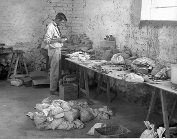
Jeff in 1963, sorting sherds at the lab in San Juan Teotihuacan, Mexico.

MEXICO AS A PERSONAL EXPERIENCE IN THE EARLY 1960S
In great part, the strength of my long-term commitment to Mesoamerican archaeology has derived from my early experiences working in the Teotihuacan Valley in 1961–1964 and traveling around Mexico by train and bus in those years. How I loved Mexico in my youth! It was so exotic and so appealing to me: the archaeology was fantastic; the traditional lifeways were interesting; the scenery was terrific; the beer was great; the girls were pretty; the people were friendly; and what few dollars I had went a long way. Besides our inspirational and congenial mentor, Bill Sanders, I had the great good fortune to work with several other graduate students, young men of about my age who were my companions in our fieldwork and after-hours recreations, and who, in several cases, have remained my close friends to this day (until the 1970s, very few young women were involved in this kind of fieldwork). We worked hard and cut loose a bit during off-hours. I even wrote some short essays, one of which may suggest something of my Mexican experience during that formative stage of my professional life.
Mexican Memories (Written in 1964)
I remember Tepic on a cool evening in late May—the small cafes around the plaza, filled with people walking and talking, pretty girls with long, dark hair and lingering eyes for the tall, fair gringo; a bustling, yet unhurried paseo. I remember the Altos de Chihuahua on a sunny afternoon, passing on the train beside and through towering canyon walls, through little towns filled with Mennonite carriages and Tarahumara indians from the sierra, down into the lowlands of Sinaloa through the purplish-gray jungle of sage and cottonwood. The beautiful sunny cool days in the altiplano, punctuated by sudden rain storms when the sky darkened ominously and the rain drove in over Cerro Patlachique, setting off a whole new range of delicate hues and tints in the thorn-covered badlands south of Otumba.
The women of the Isthmus, I remember them well, from the tall, slender Tehuanas at the Hotel Buena Vista in Salina Cruz, to the beautiful, almond-eyed girl sweeping the plaza in Matias Romero, to the withered old crones in their velvet blouses from Tehuantepec to Coatzalcoalcos. The flirtatious waitresses at Tamazunchale; the refresco vendor at Chichen Itza as she handed me a cold drink in the midst of a Yucatecan swelter; the smiling and mysterious norteña standing at the train station in Opal, Zacatecas; the baffling girl on board the streetcar from Xochimilco.
I remember deserted and broken haciendas, now reduced to heaps of rubble and roofless walls, the last vestiges of a vanished way of life—and yet, many still retaining a kind of grandeur before one approaches them too closely to see the full extent of their destruction. I remember mountain paths and centuries-old colonial roads now reduced to shallow barrancas with an occasional remnant patch of cobbling. I remember the stillness of the countryside, the utter silence in a region where there are no roads, no industry, no progress. I remember the country people—men and women at work in the fields, small shepherd boys and girls, old men and women too, often encountered unexpectedly miles away from any settlement, sometimes a little suspicious, but almost always friendly and polite and interested. I remember them all.
THE MICHIGAN EXPERIENCE, 1961–1966
I am still surprised that I was accepted for graduate study in anthropology at the University of Michigan. Although I had a good undergraduate academic record at Penn State, I had taken no courses in anthropology until the second semester of my senior year, and I had no archaeological field experience until the summer months following my graduation in June 1961. I really had only a limited idea what anthropology was all about when I sent in my application to Michigan late in the fall of 1960. For whatever reasons, I was accepted, and Jimmy Griffin's offer of a job (that paid just enough to make ends meet) as radiocarbon clerk at the Museum of Anthropology made it financially possible for me to accept the offer. In September 1961, I embarked on a challenging, stimulating, and exciting five-year stint in Michigan's graduate program.
During those years I worked summers with Bill Sanders in the Teotihuacan Valley. During the rest of the year I took classes from James Griffin, Arthur Jelinek, Volney Jones, Leslie White, Elman Service, Marshall Sahlins, Eric Wolf, Frank Livingstone, and Aram Yengoyan. Historian Charles Gibson arrived on the scene near the end of that period, just in time to become a member of my dissertation committee. I learned a very great deal from them all, from the many fellow students with whom I interacted every day, and from my own explorations in the open stacks of the marvelous Michigan library.
Michigan anthropology in those years approached a truly integrated discipline—much of what the ethnologists and biological anthropologists and linguistic anthropologists did seemed interesting and relevant to archaeologists like me; likewise, faculty and students in the other subdisciplines were interested in the broader implications of archaeology. One major focus of Michigan anthropology in those years was cultural evolution (White Reference White1959; Sahlins and Service Reference Sahlins1960), and that was when Elman Service (Reference Service1962, Reference Service1975) was developing and elaborating his thoughts about the classification of societies (the classic band-tribe-chiefdom-state model that so greatly appealed to some archaeologists) and the development of the archaic state. I remember once when Service (or was it Eric Wolf?) asked me in class to tell them all about the implications of my fieldwork in Mexico for some particular issue he had brought up in a seminar on social organization—pretty heady stuff for a first-year graduate student. Marshall Sahlins' riveting lectures on kin-based economics, Oceanian ethnography, and cultural adaptation provided a compelling conceptual framework within which to consider the archaeological data I was helping to accumulate in Mexico (e.g., Sahlins Reference Sahlins1958, Reference Sahlins1968, Reference Sahlins1972). Eric Wolf, then himself so recently involved in Mexican archaeological and ethnographic fieldwork (Wolf Reference Wolf1959), lent a sympathetic ear and offered sound advice. When Charles Gibson arrived over in the History Department it got even better as I came to know one of the most distinguished historians working in Colonial Latin America—a low-key, very approachable man, who wore his status lightly. Altogether it was a marvelous experience and I look back on it with fond memories and more than a little nostalgia.
One of the best things that happened to me at Michigan came during 1966, my first year on the faculty there, when I met Mary Hrones. Mary, then in her first year in the Michigan graduate program, was a student in the first class I taught, and she accompanied me and three other graduate students to Mexico that summer. She was so good in the field that I asked her to return for a long fieldseason in 1967—the Texcoco Region survey. She was a mainstay of that project, as I knew she would be. Things went along, and we were married the following year, 1968. Since then, she has worked closely with me on most of my field and lab research, including some classic independent studies of her own (e.g., M. Parsons Reference Parsons1970, Reference Parsons, Spence, Parsons and Parsons1972a, Reference Parsons, Spence, Parsons and Parsons1972b, Reference Parsons1975, Reference Parsons and Williams2005; sections of Parsons and Parsons Reference Parsons and Parsons1990). Our daughter, Apphia, was born in 1975, just in time to accompany us on a long fieldseason in highland Peru.
It is now difficult to imagine, but the mid-1960s was a time when anthropology departments all over the U.S. were expanding and hiring new faculty, and when it seemed like there were fewer qualified applicants than faculty job openings. I had the very great good fortune to be finishing my doctoral dissertation at precisely the time when Bill Sanders reluctantly turned down Michigan's offer to join its anthropology faculty. Jimmy Griffin came to me one day soon thereafter and wondered if I would be interested in the job. I agreed to take it on, and I stuck around for 40-plus years (probably one of the very last “old boy” hires ever made). The only downside was making the student-to-faculty transition so quickly and in the same place: In early January 1966, several people who had been my fellow students a few weeks earlier were now students in my class, and I had to evaluate their work and give them grades; conversely, my new faculty colleagues were the same people who had so recently been my professors. It took me a long time to get through this psychological divide.
BROADENING MY HORIZONS
Beginning in the mid-1960s, after five field seasons in the Valley of Mexico, I thought it was time to get some additional field experience in other parts of Mesoamerica and in other parts of the world. I continued to seek out such opportunities over subsequent decades.
In 1966, I spent a summer working with Dennis Puleston on his “brecha” survey in the thickly forested area around Tikal, Guatemala. Later that same year I spent two months traveling around Peru. Some years later, I worked as a participant-observer with several projects that enabled me to see firsthand how regional survey was being done, or might be done, in several different regions: in 1977, with John Speth in southeastern New Mexico; in 1978, with Chris Peebles along the Black Warrior River in Alabama, and in the River Raisin drainage in southeast Michigan; in 1985, with Gudmundur Olafsson in northern Iceland; in the mid-1990s, with Axel Nielsen, Maria Albeck, and Clara Rivolta in northwest Argentina; in the late 1990s, with Carlos Lemuz, Sonia Alconini, Claudia Rivera, Pilar Lima, and Dante Angelo in Bolivia; in 1999, visiting survey areas in Greece with Michigan student Despina Margomenou and her Greek professors Stelios Andreau, Nikos Efstratiou, and Kostas Kotsakis; also in 1999, working for a month with Janet Richards at Abydos in Upper Egypt; in 2000, with Simon Holdaway and Patricia Fanning in interior New South Wales, Australia; also in 2000, with William Honeychurch in northern Mongolia; and in 2002, with Peter Attema and Martine Van Leusen in southern Italy.
I learned a great deal from all these experiences, and I will now describe something of how powerfully just one of them influenced my thinking about regional archaeology.
Surveying With Dennis Puleston Around Tikal, Guatemala, 1966
Denny's survey design (Puleston Reference Puleston1983) was based on the Guatemalan government's recent designation of the Tikal archaeological zone as a national park. To facilitate park maintenance and security, in 1965, Guatemalan government surveyors had cut four main trails (brechas) extending from Tikal's central plaza out to the park's borders some 12 km distant in each of the four cardinal directions. In Denny's plan, these precut trails would serve as the axes along which the archaeological survey teams could move, and from which their operations could systematically advance into the adjacent forest in search of archaeological features.
In this trackless and thickly vegetated terrain, accurate location and mapping of these features (usually small mound-plaza groups) required precise positioning of people and places on the ground at a time long before the advent of Global Positioning System (GPS) technology. This positioning was achieved by placing numbered wooden stakes at carefully measured 25 m intervals along the brechas. These stakes were the points at which each of the five members of each survey team (one or two archaeologists and three or four local workers) located themselves along a 100 m stretch of the trail ready for their plunge to a “depth” of 250 m into the forest in a direction perpendicular to the brecha. The 250 m distance was determined by pace counting, with consistent direction maintained by means of a handheld compass. Two teams worked in tandem, one on either side of the brecha, and in this fashion a 500 m wide survey strip was examined along the 10 km length of each brecha.
When a team was 250 m from the brecha, it halted, regrouped around the furthermost member, and repositioned itself some 100 m farther along, determined by pace count along a compass line parallel to the main brecha, and from there returned in formation to the brecha. Once back on the brecha, the accuracy of the pace and compass estimations could be determined by relating each person's actual position on the trail relative to the numbered stakes.
The “center man” on each survey team (usually Denny for one team and I for the other, but sometimes Rich Blanton or Don Callendar) had a particularly tough assignment. He had the map (a piece of Mylar mounted atop a piece of graph paper on a 9 × 12-inch clip board), and he was responsible for maintaining the proper alignment of all five mutually invisible team members as they walked along at 25 m intervals. He also was the one who drew the archaeological features on the map as they were encountered. The center man had to count paces, wield a machete and make his way through the thick vegetation, keep on a compass line, maintain continuous voice contact with four other individuals, request individual team members to reposition themselves when he judged by their voices that they were moving out of alignment, halt the entire team when one person encountered an archaeological feature, leave his own position and walk over to the newly discovered feature, map in that feature on the Mylar map, return from the mapped feature to his original position on his survey line, and restart the team. On top of all that he had to draw in impressionistic contour lines based on his perceptions of the relative heights of different team members' voices as they called out to him periodically from along the survey line.
All of this required tremendous concentration to accomplish the task, and a genuine sense of humor to keep from going crazy. Denny held us all together as we struggled to keep our bodies and minds from giving out. Almost always he did this by example: time after time he would emerge grinning from a horrendous swampy morass or acres-large tree fall, bloody-armed from squashed mosquitoes and slimy all over from crawling through and under the vegetation, and proceed to blithely congratulate us on our findings or to praise our accuracy in returning to the designated points on the brecha. What could we do but try to imitate such resilience, dedication, and good humor?
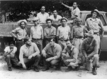
The “brecheros,” Tikal, Guatemala, 1966.

As I left Tikal at the end of that summer, I remember thinking to myself, as I would continue to do in the years to come, that I had had a truly remarkable experience. I figured that because I had survived the brecha survey, perhaps I could survive anything. This reasoning helped sustain me through many a difficult field experience that lay ahead, although none of these ever really quite equaled the level of agony, pain, anguish, frustration, or sense of accomplishment that I had experienced out on the brechas working with Denny. I also decided that regional survey in forested settings was simply too much work per unit of information for my liking: in the Peten, it had taken us 10 weeks to cover 15 km2 with two fieldcrews; back in the Valley of Mexico, we could have done that much in less than a week and with much better chronological control. I have continued to admire tremendously those regional studies that several intrepid colleagues have successfully undertaken in heavily vegetated areas, but I have preferred to admire them from a distance. I'm still fairly good at drawing impressionistic contours on maps or air photos.
THE ANDES
Bill Sanders had spent 1964 as a Fulbright scholar in Peru. He traveled widely and also carried out a path-breaking study of the Pikillaqta site near Cuzco (Sanders Reference Sanders1973). His stories about these experiences reinforced my own developing interest in Andean archaeology. In 1966, encouraged by Jimmy Griffin who secured travel funding through Michigan's Museum of Anthropology, I spent two productive months traveling around Peru, partly in Sanders' footsteps, but also striking out into areas he had not visited two years before, including a short visit to Bolivia. Lorenzo Rossello, a Peruvian industrialist who had been a Michigan architectural student in 1940–1941, helped me out enormously by introducing me to several archaeologists in Lima, taking me around to many coastal sites north and south of Lima, and writing letters of introduction to several archaeologists he knew in other parts of Peru.
Just like my first trip to Mexico five years before, Peru simply fascinated me: its exotic environments (the coastal desert and highland puna were completely new worlds to me); the astonishing and varied topography; the indigenous camelid pastoralism and other traditional lifeways; the extraordinarily well-preserved archaeological sites; the great seafood (on the coast); and even my first earthquake. When I returned to Ann Arbor that year, I developed a course in Andean archaeology, which I continued to teach at regular intervals until my retirement in 2006. I also published two short papers based on my observations (Parsons Reference Parsons1968a, Reference Parsons1968b), and soon thereafter got underway with an archaeological study of sunken-field agriculture along the Peruvian coast (Parsons and Psuty Reference Parsons and Psuty1974, Reference Parsons and Psuty1975).
A few years later, my acquaintance with Peruvian archaeologist Ramiro Matos blossomed into a joint regional study in the Sierra Central in 1975–1976 (Parsons et al. Reference Parsons, Hastings and Matos1997, Reference Parsons, Hastings and Matos2000). The violence of the 1980s and early 1990s in our study area and in many other parts of Peru precluded any follow-up studies, and by the time the violence had subsided after the mid-1990s, I found I could no longer physically handle the very high altitudes of our old study area. Too bad, because the remote and isolated Andean puna is, in my mind, an archaeological paradise, and our surveys there two decades before had defined many promising research questions.
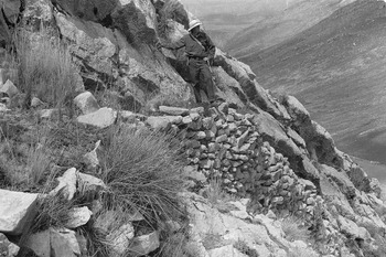
Jeff on survey near Jauja, Peru, 1976.

One topic that especially interested me was the relationship between herders and cultivators—one of the keys to understanding Andean society, both ancient and modern. I was so struck by the obvious importance of pastoralism throughout the Andean world, and in much of the Old World, that I began to wonder how pre-Hispanic Mesoamericans had managed without it. It came to me in a flash one day about 10 years ago, one of the very few truly original ideas I ever had: in ancient highland Mexico, maguey = llamas, a notion I have recently elaborated in a forthcoming paper (Parsons Reference Parsons, Staller and Carrasco2009a).
ETHNOGRAPHIC STUDIES IN THE VALLEY OF MEXICO
During the 1960s, the Valley of Mexico was still a region in which many kinds of traditional activities continued to be practiced. Many of the living people we saw everyday in their homes, fields, workshops, and marketplaces were the biological and cultural descendants of the very prehistoric populations whose lifeways we were attempting to understand through archaeological research; the living links between past and present surrounded us. Pedro Armillas (West and Armillas Reference West and Armillas1950) and Bill Sanders (Reference Sanders1957) had already shown the importance of ethnographic analogy in interpreting the archaeological record.
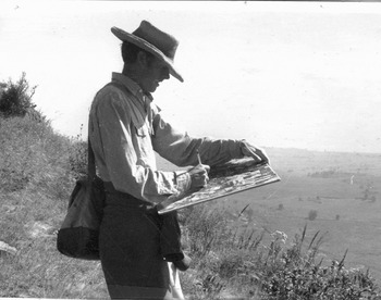
Jeff on survey near Chalco, Mexico, 1972.

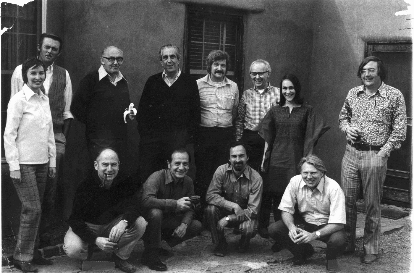
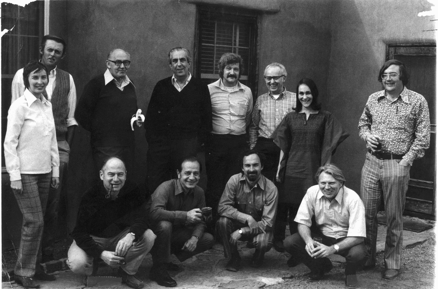
School of American Research seminar, Santa Fe, New Mexico, 1972. Front (kneeling, left to right): Eric Wolf, Jose Luis Lorenzo, Richard Blanton, William Sanders. Back (standing, left to right): Sydel Wolf, Jeff Parsons, Angel Palerm, Ignacio Bernal, Edward Calnek, Rene Millon, Barbara Price, Richard Diehl.
By the 1980s, I began to realize that deep-seated changes were underway in the Valley of Mexico, and that the traditional lifeways, and even entire physical landscapes, were disappearing in the face of urban sprawl, agricultural mechanization, land-reclamation, large-scale quarrying and trash dumping, and the replacement of traditional hand-crafted pottery, textiles, and pulque by their mass-produced commercial equivalents. I realized that archaeologists of the future would not have the opportunity that Armillas, Sanders, and I had had of observing the living links between past and present in the Valley of Mexico. Ethnologists appeared to have little interest in recording the last vestiges of these traditional activities, much less to consider their relevance for archaeological interpretation. None of my colleagues in the U.S. or in Mexico had expressed interest in such investigations in the Valley of Mexico. I realized that if I did not undertake them, such studies would simply not get done, and a lot of important information would be lost.
Amecameca, Mexico, 1981. Left to right: Mary Parsons, Mary Taft, Apphia Parsons, Virginia Popper, Antonio Ribeiro, Kurt Anschuetz, Jeff Parsons.

As I was thinking about this conundrum, in the mid-1980s, I got caught up for several years in administrative commitments as Director of Michigan's Museum of Anthropology. During that period, my administrative responsibilities prevented me from being away from campus for the long periods of time typically required by archaeological fieldwork, and on a predictable enough timetable so that participating students could plan their busy fieldwork and classroom schedules. So, because they were less demanding of time, personnel, and funding, I turned to ethnographic studies as a way of escaping from the university bureaucracy for short periods whenever I could manage it: first maguey utilization (Parsons and Parsons Reference Parsons and Parsons1990), then saltmaking (Parsons Reference Parsons2001), and then aquatic insect collecting (Parsons Reference Parsons2006). These ethnographic studies were so interesting, and I learned so much from them, that I spent more time doing ethnography than I had originally intended. By the time I thought again about doing more archaeological fieldwork, most of the sites that particularly interested me in the Valley of Mexico had been destroyed.
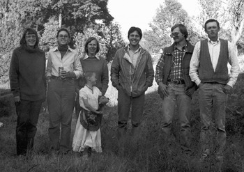
Near Chalco, Mexico, 1990. Left to right: Yoko Sugiura, Mari Carmen Serra, Jeff Parsons, Noel Morelos.

A CRITIQUE OF THE REGIONAL SURVEYS IN COMPARATIVE PERSPECTIVE
In a forthcoming paper (Parsons Reference Parsons2009b), I present an extensive critique of our regional surveys in the Valley of Mexico. In this essay I will extend these comments with some thoughts based on comparisons between my contrasting Mexican and Peruvian survey experiences.
Study Area and Survey Area
For the Valley of Mexico, the study area and the survey area were isomorphic: a distinct natural and cultural region with topographically well-defined subareas that could be examined piecemeal over a long period of time. It was both large enough to be interesting and small enough to be manageable. Extensive modern urbanization was a major problem in some subareas—we simply had to work around these as best we could.
When we moved into the Peruvian Sierra Central, however, we confronted a much different situation. We selected this as a study area because it was where my colleague Ramiro Matos had focused his site-specific research over the previous decade, and where he had established both good relationships with many local people and the outlines of an artifact and site typology. The study area comprised three subregions: a large valley on the south (the Jauja region); (2) high, rolling grassland on the north and west (the Junin region, mostly puna in the local terminology); and (3) a large zone of dissected small valleys and intervening ridges on the east (the Tarma region, mostly kichwa in the local terminology).
Except for Lake Junin on the north, there was no delimiting “outer” natural boundary, no bordering range of high mountains, unusually deep canyons, or major bodies of water that could serve as “natural” limits for our study area, and which would clearly separate one highly productive region from another. Productive landscapes extended continuously in all directions, particularly because, unlike highland Mexico, pre-Hispanic Andean camelid pastoralists were well equipped to exploit high, cold grasslands up to 4,600 m above sea level that were quite unproductive for agriculture.
We quickly realized that, unlike the Valley of Mexico, most of the boundaries of our Peruvian survey area would necessarily be arbitrary. This meant that we would never know what kind of pre-Hispanic occupation there might be only a little distance beyond our survey borders—occupation that may well have had a major impact on the occupation within the survey area. This was never a real problem in the Valley of Mexico where we were usually confident that there would be little or no detectable occupation within the extensive delimiting ring of high mountains and rugged hill ranges.
So, in Peru, we simply decided to survey as much terrain as we could manage within each of the three main subregions. These same areas also comprised the heartlands of three different ethnohistorically documented early sixteenth-century “ethnic” groups. We extended our coverage outward along existing roads from field headquarters in each subregion. We simply stopped surveying when we ran out of time. Over two six-month field seasons, with two field crews of three persons each, we were able to cover some 1,300 km2. This was a survey area large enough for some purposes, but one whose borders were almost wholly defined on an ad hoc basis.
Ethnographic Analogy and Research Design
I have continued to ponder how I might have designed our survey in highland Peru so as to better accommodate not only environmental diversity but also what I knew, or later came to know, about ethnicity, cultural ecology, and the relationships between prehistoric herders and cultivators. I became familiar with much of this latter kind of information only well after the surveys were complete. Had I been better informed at the outset, I may have been able to situate our survey units in a more meaningful way. One example will illustrate my meaning, and I think the lesson I learned would be generally applicable to almost any study area.
Years after our surveys in highland Peru had been completed, I was able to read more ethnographies about traditional Andean agricultural and pastoral lifeways (e.g., Bastien Reference Bastien1978, and many others). This literature describes cultivators and herders who are often specialized—many herders do no cultivation, and vice versa. Herder-cultivator interaction is often facilitated through well-defined public ritual, some of which involves offerings at strategically placed shrines, and some of which involves ritual fighting. Such ritual activities are typically undertaken at the junctures between higher-altitude herding zones (the puna), and lower-elevation agricultural zones (the kichwa). Herder-cultivator interaction is often physically manifested by a concentration of ritual performance and ritual architecture at the puna-kichwa juncture.
We had plenty of such a puna-kichwa juncture in our study area. However, because the area was characterized by such extreme local vertical relief, we had great difficulty surveying in this type of terrain, and so we tended to shy away from it. However, we did survey just enough of this juncture zone to discover that, during some prehistoric periods, the very largest and most elaborate sites were concentrated there. These large sites made little sense in strictly local economic terms, but they were very comprehensible, once I understood the relevant ethnographic data better, as regional centers that mediated interaction between puna herders and kichwa cultivators. Had I been more familiar with Andean ethnography in the early and mid-1970s, I certainly would have designated the puna-kichwa juncture as a zone of especially high interest, despite the practical difficulties for survey it posed.
Nature of the Surficial Archaeology
The nature of the surficial archaeological record may be the single, most important factor in devising an appropriate survey methodology. In addition to the archaeological remains themselves, there is the matter of surface vegetation. The great bulk of my own experience has been in sparsely vegetated semiarid and arid regions, typically with “high-profile” surficial archaeological remains: either stone architecture as in highland Peru, or concentrations of potsherds and amorphous mounding as in the Valley of Mexico. Although it is very labor intensive, discovering and recording such high-profile remains is relatively straightforward.
In the Valley of Mexico, I had early-on adjusted to the systematic recording of variable densities of surface pottery. Furthermore, because of the relatively good ceramic chronology, we were often able to ascertain the chronology of this surface pottery by simply eyeballing the material as we trod over it on the ground surface. Periodically, grab samples were taken to check on the veracity of our visual impressions, especially where there was multicomponent occupation. Architectural remains were sometimes present, but invariably took the form of rather amorphous mounds with few clear details apart from height, diameter, and artifact density. Consequently, in Mexico we developed few techniques for recording architectural detail.
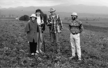
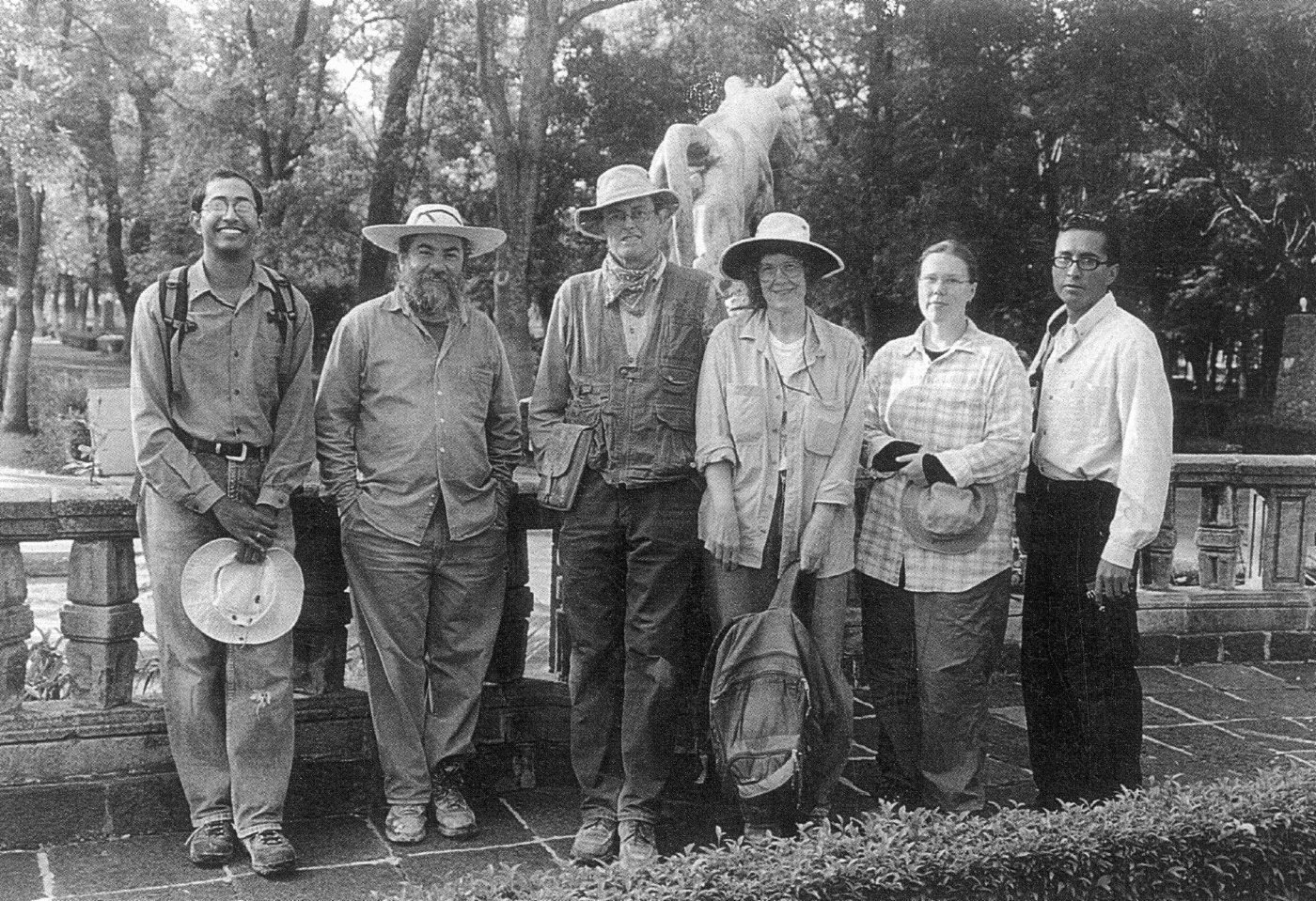
Chapingo, Mexico, 2003. Left to right: Hemanth Kadambi, Luis Morett, Jeff Parsons, Mary Parsons, Margaret Wilson, Ventura Cervantes.
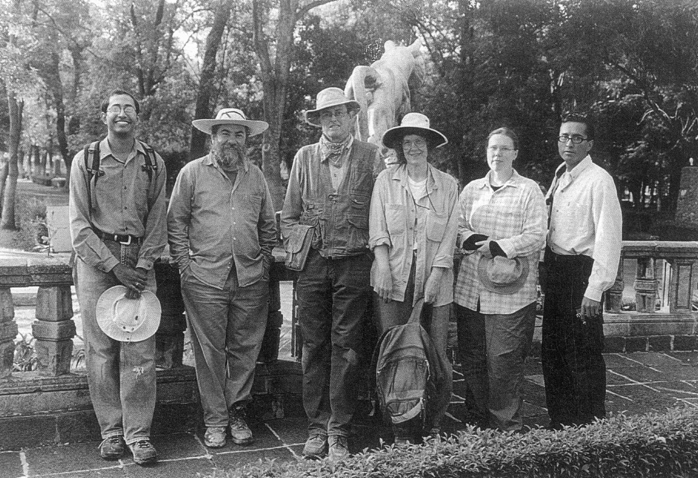
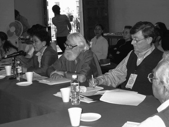
Mexico City, 2004. Seated in foreground, left to right: Yoko Sugiura, William Sanders, Jeff Parsons, Ruben Cabrera (partial view).

In highland Peru, we encountered a much less intensively cultivated landscape, especially at higher altitudes in the puna. Here the surficial archaeological record contained few potsherds, but quite a lot of standing stone architecture for the later periods. Consequently, we had to radically modify our survey methodology. We never really adjusted properly to having to deal with so much architectural detail. In order to cover “enough” area, we opted to minimize the recording of innumerable specific details about construction technique and building form.
I later came to regret this decision in several different ways. Here are two specific examples: (1) our failure to pay much attention to free-standing stone walls inside sites, and (2) our failure to develop a more detailed typology of above-ground, stone-walled tombs. Years later, as I was preparing the final survey monograph, insights from ethnographic studies made me suspect that freestanding stone walls inside settlements symbolized some form of community duality. Because we had not systematically recorded or noted these features, I could go little beyond speculation. Our data also hinted that different types of above-ground tomb forms may have represented different social categories. Once again, because we had not differentiated such tombs during the survey, I was unable to exploit this potentially very important line of evidence.
REGRETS?
There are three things I wish I had done differently:
(1) I wish I had learned a lot more about statistics and quantitative analysis. Long ago, I came to realize the value and importance of quantification in archaeological analysis. However, I had not been exposed to much of this during my graduate studies, and in later years I always felt I was too busy (or perhaps I was simply too lazy?) to devote enough time to acquiring this kind of expertise, and I never got much beyond anything more sophisticated than standard deviations in my own work. I occasionally got help from quantitatively sophisticated graduate students (such as Keith Kintigh, Rob Brubaker, Renato Kipnis, and Jason Sherman), but I usually relied on impressions I derived from simply looking at maps or charts or tables. Obviously, this kind of intuitive analysis is often very insightful and works well enough for developing many kinds of ideas and interpretations, but it is much less capable of detecting more subtle patterning, or to help design sampling schemes that might be appropriate for investigating certain kinds of “low-profile” “off-site” archaeological remains.
(2) I wish I had read a lot more ethnography and history. Marshall Sahlins' lectures on Oceanian ethnography during my graduate-student years, and his classic study of kin-based economies made me understand the importance of ethnographic analogy in archaeological interpretation, as did Elman Service's influential studies of societal categories. Equally inspiring were Bill Sanders' ethnographic studies of traditional agricultural ecology in Mexico, and his use of African ethnography in developing models of prehistoric cultural behavior and their material manifestations. As already noted, I did some reading—ethnographic and ethnohistoric—along these lines, and I followed Sanders' example of conducting ethnographic field study in conjunction with archaeological investigation. For decades, I have accumulated many references and even some physical volumes of relevant ethnographic and historical sources that I fully intended to read some day soon. Unfortunately, I got around to many fewer of these than I had intended. I really wish I had finished working my way through the list, for I am certain that my own teaching and research would have benefited immensely.
(3) I wish I had learned more geomorphology. Although my undergraduate major at Penn State was geology (and mineralogy), the emphasis there was on hard-rock geology and paleontology, with only limited exposure to geomorphology and landscape formation. During all my years of fieldwork in Mexico and Peru, I never really had a good feel for the “nuts and bolts” of how the landscapes through which we trod had come to be shaped by the combined forces of man and nature. We never systematically factored geomorphological considerations into our survey strategies. In later years, I had the great good fortune to meet and work with Charles Frederick and Carlos Córdova. Their insightful geoarchaeological studies in the Valley of Mexico (Córdova Reference Córdova1997; Córdova and Parsons Reference Córdova and Parsons1997; Frederick Reference Frederick1995, Reference Frederick1997, Reference Frederick, Thurston and Fisher2007; Frederick et al. Reference Frederick, Winsborough, Popper and Brumfiel2005) made me much more fully aware of how we might have better designed our field research in earlier years.
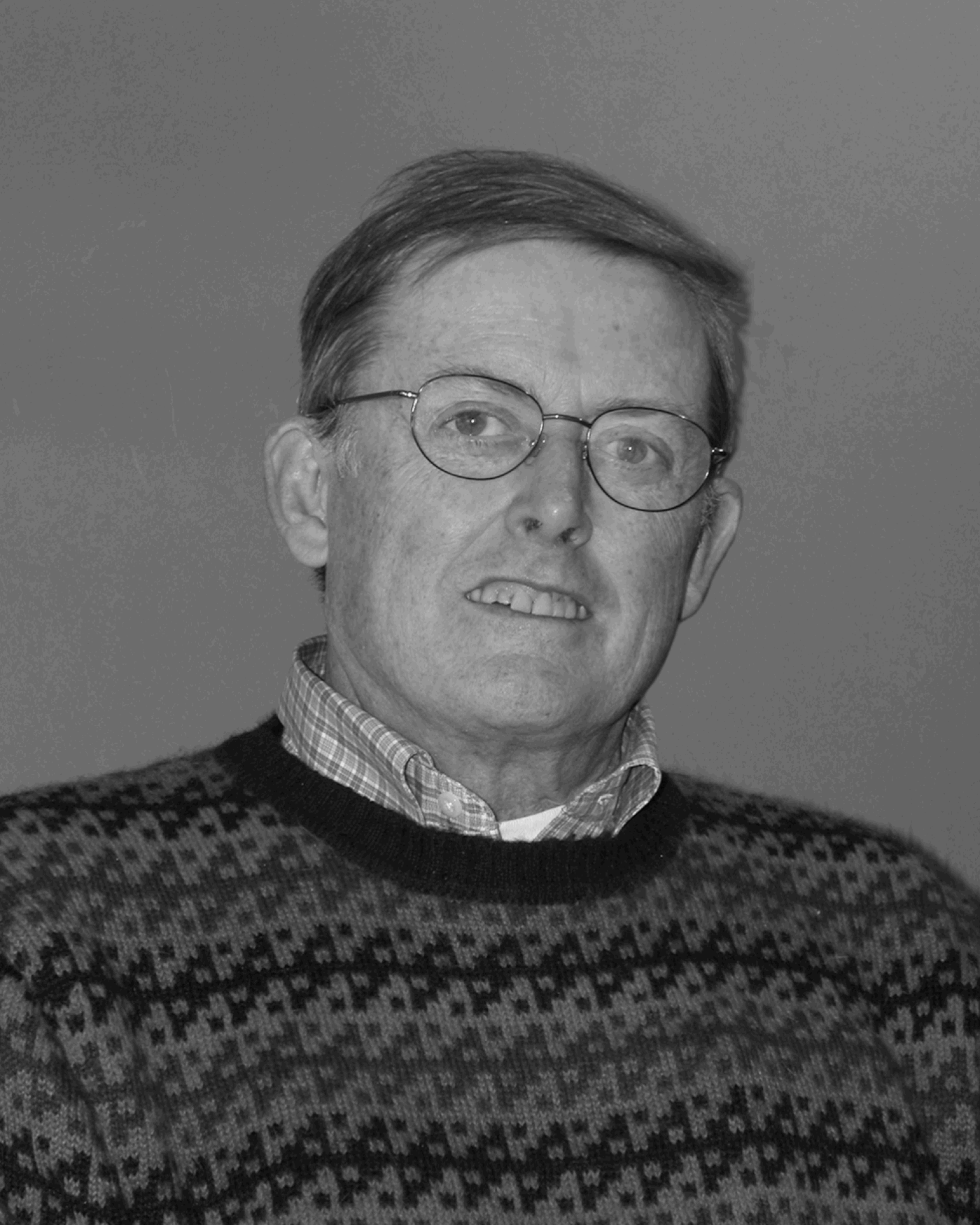
Ann Arbor, 2006.
EPILOGUE
I had the very good fortune to find a professional niche in my youth that I was delighted and privileged to occupy all my working life, and to have encountered so many inspiring and helpful and congenial people along the way. Perhaps most especially, I can never repay my great debt to the late Bill Sanders who provided me, and so many others, with the opportunity to work things out for ourselves in the field early in our careers, and who gave so freely of so much inspiration over the following decades. I still marvel that it has been possible for me to make a decent living doing something that was often so much fun and which continues to excite my interest and passion. I often wish I was 30 or 40 years younger again so that I could undertake some of the new field projects that so greatly interest me, a few of which I have alluded to in this essay.
I have realized for many years my great good fortune in finding employment at the University of Michigan Museum of Anthropology. In that setting, I have been surrounded by inspirational colleagues and students, and, with our half-time teaching load, there was adequate time to devote year after year to long fieldseasons in Mexico and Peru, and to extended periods of writing and curatorial activities at home that dovetailed so well with the fieldwork abroad. I owe a great debt to the late Jimmy Griffin, whose vision and support so greatly facilitated all that for me and others.
The passage of time has also brought home to me a rather sobering reality: field archaeology, especially at the regional level, is a young person's game. I gave it my best shot when I was young and even into middle age and a bit beyond—I've had a good run. As I see it, the main task before me now is to complete the several final data monographs based on fieldwork that extends as far back as 1969 in Mexico and Peru. As I write these words, for example, the final volume from the Valley of Mexico survey (1973 fieldseason) has just been published (Parsons Reference Parsons2008)—a work that was finally completed in the two years since my retirement in 2006. Better late than never!